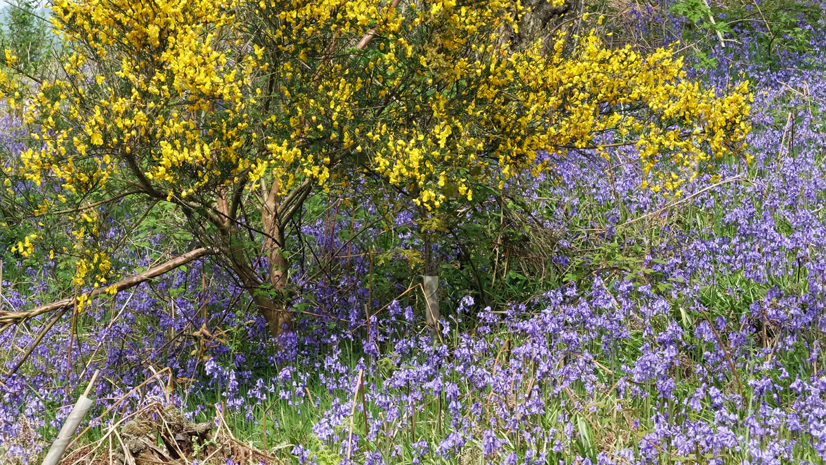
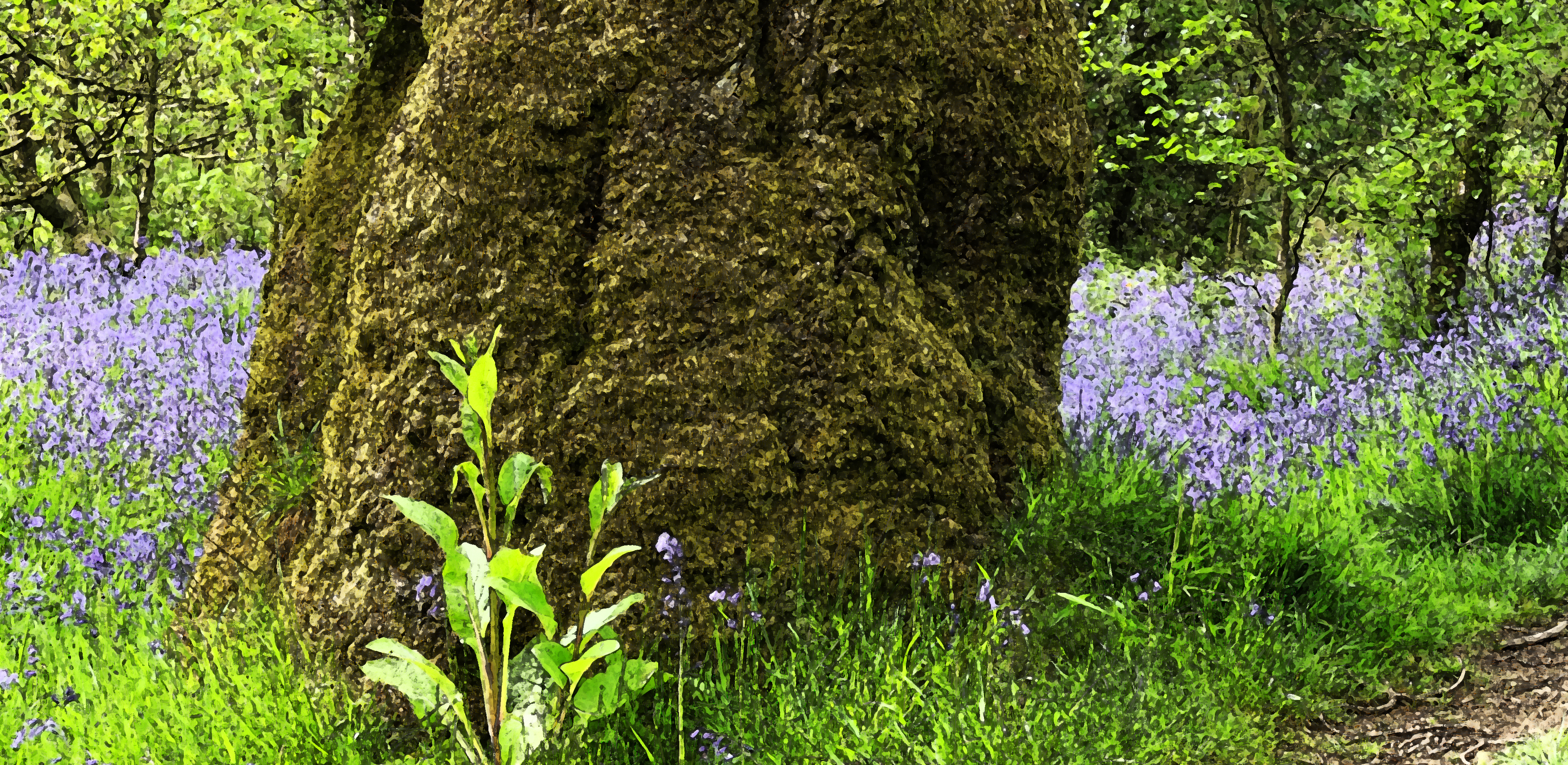
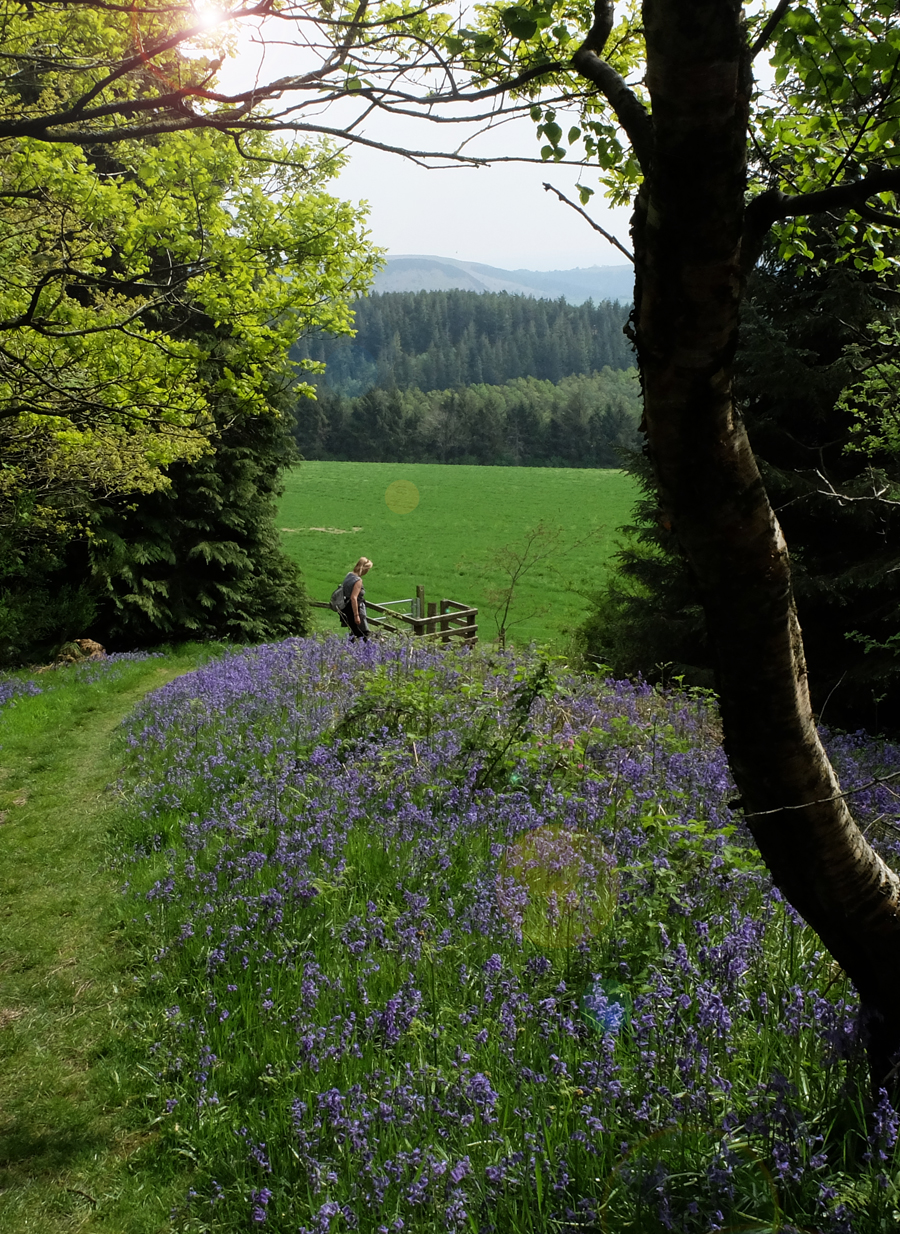
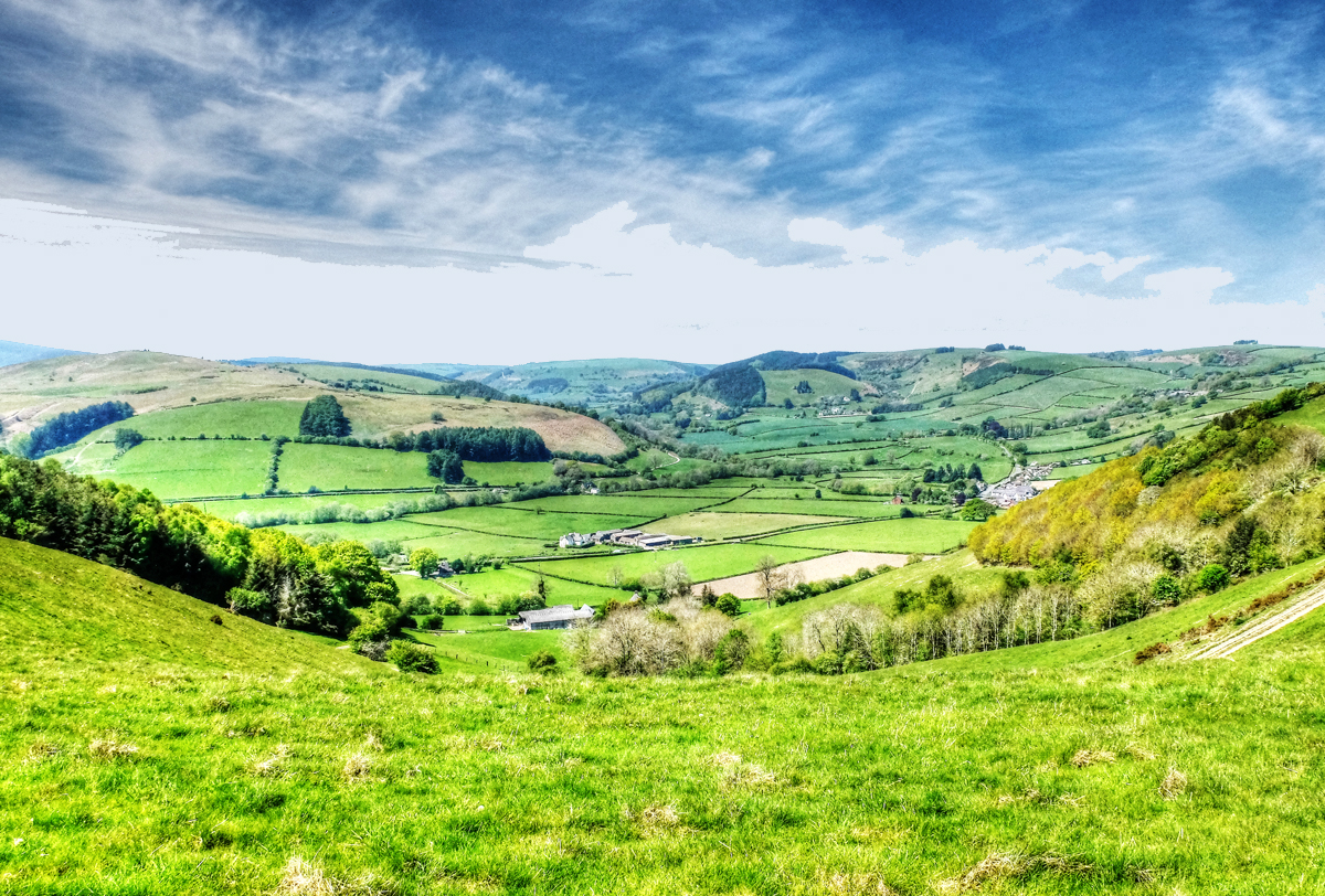
Back garden, mid-Summer

Posted in blog entries | Leave a comment

Offa’s Dyke, Knighton to Brompton Crossroads

This ‘switchback’ section is generally reckoned to be the toughest on the Trail as it rises and falls through the Shropshire Hills Area of Outstanding Natural Beauty. However the views and sense of tranquillity make the effort well worthwhile. This section also has some of the best preserved sections of Offa’s Dyke that can be found on Llanfair Hill at the point where the Jack Mytton Way crosses the Trail.

Just above Newcastle on Clun you are at the true midpoint of the Trail, with its midway marker, a good photo opportunity for all walkers. At Hergan where there is what seems a natural break in the Dyke, the Shropshire Way joins the Trail. This route will be meet on a number of occasions over the coming days as you head north. Another trail to cross paths with Offa’s Dyke Path on this section is Wild Edric’s Way, named after a Saxon nobleman who led a number of guerrilla wars against the Normans in the middle marches.

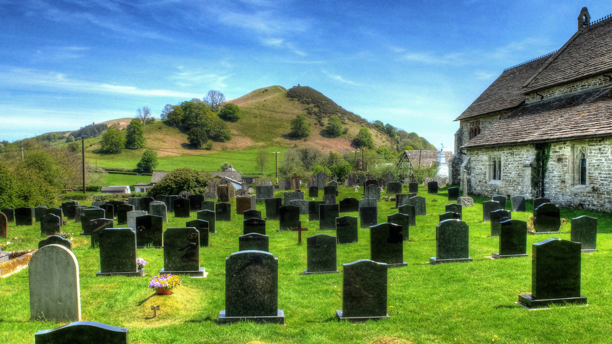
There are very few villages on this section but a number of hidden gems await the walker, one of these is Churchtown – at the foot of a narrow valley you find the church but there’s definitely no sign of a town.

The Kerry Ridgeway is the next trail to cross paths with the route and from this point on it’s level or downhill all the way to Montgomery, very welcome after all the ups and downs of this section of the Trail. [©http://www.nationaltrail.co.uk/]

This section really was quite hard work and we broke the journey at Churchstoke. We stayed on two campsites, although the first one, Spring Hill Farm near Newcastle, hardly deserved the title and we stayed there solely because it was actually on Offa’s Dyke path. To be fair, we had a big wildflower meadow to ourselves and spectacular views. I won’t dwell on the “customer services”. The second site was more conventional, just outside Welshpool, where we camped next to the River Severn.

Inside the Offa's Dyke Centre, in Knighton.
Inside the Offa’s Dyke Centre, in Knighton.
Sal, Lucy and kite.
Sal, Lucy and kite.
Another disused "trig" point.
Another disused “trig” point.
Spring Hill Farm. Don't go there.
Spring Hill Farm. Don’t go there.
Much of the original dyke remains, still obvious across the landscape.
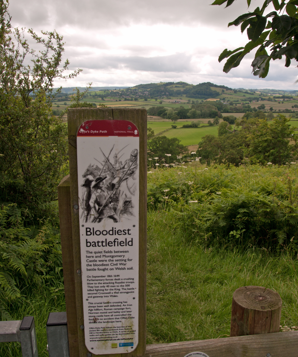
Site of civil war battle in September 1644. Cromwell won.
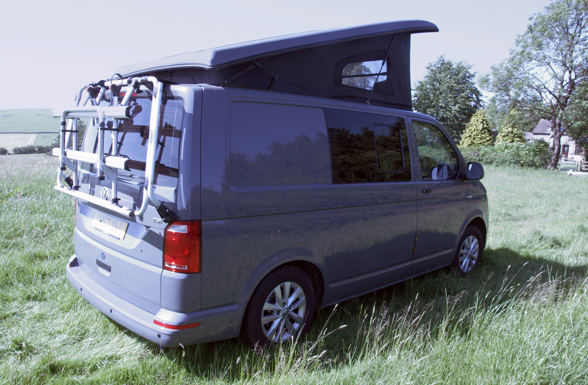
Camping near Welshpool.
Slightly menacing bullocks near Welshpool.
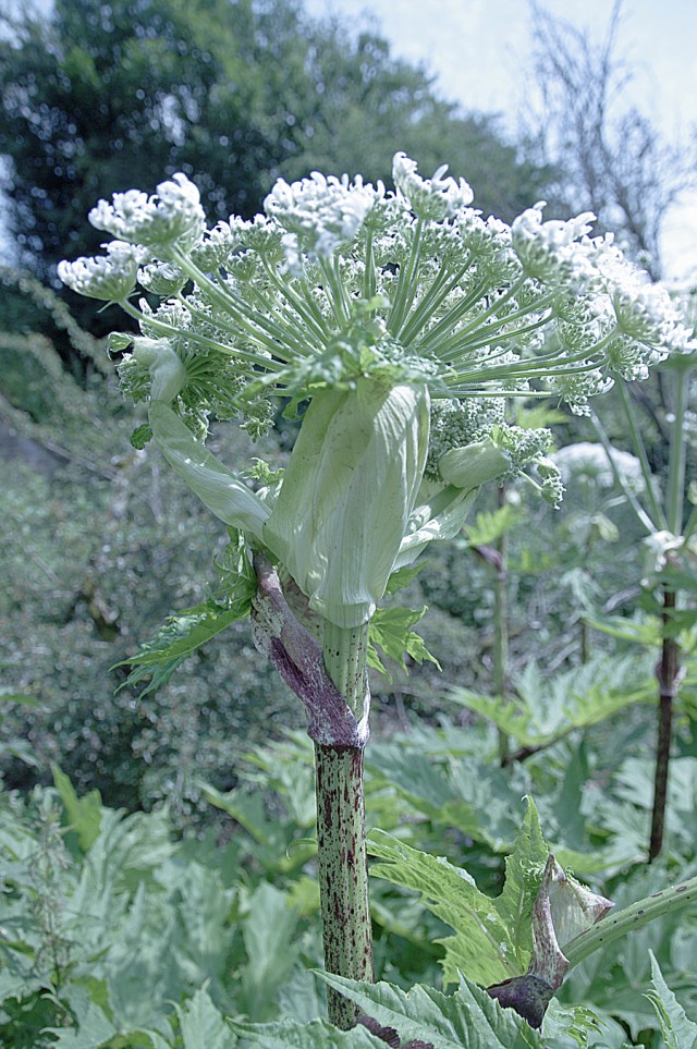
Giant Hogweed by river bank.
Posted in blog entries | Leave a comment

Memory Lane

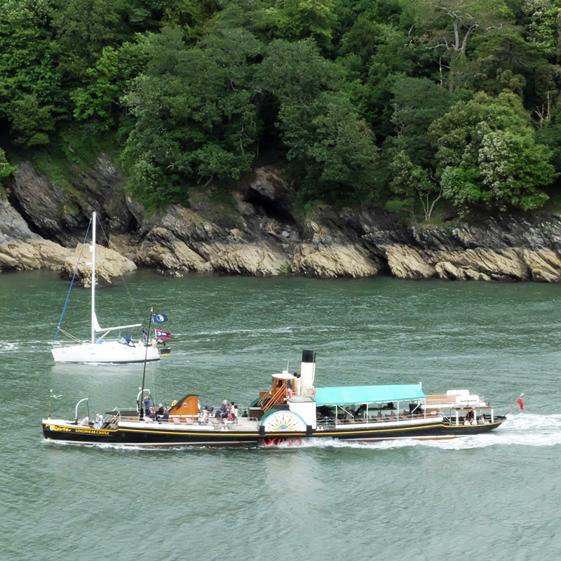
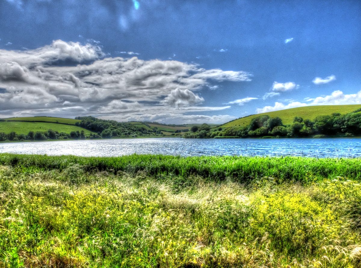
We were in the Devon South Hams for Sal’s birthday, an area we knew well ten or so years ago. Crab for lunch in Dartmouth, a walk on Slapton Ley and curry on the quay, later in Kingsbridge.

Posted in blog entries | Leave a comment

Lupins near Southgate on the Gower Peninsular

Posted in blog entries | Leave a comment

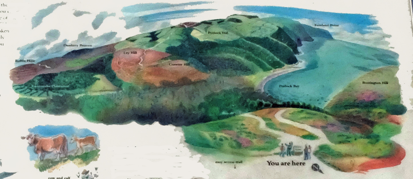
Selworthy Beacon and Bossington Hill

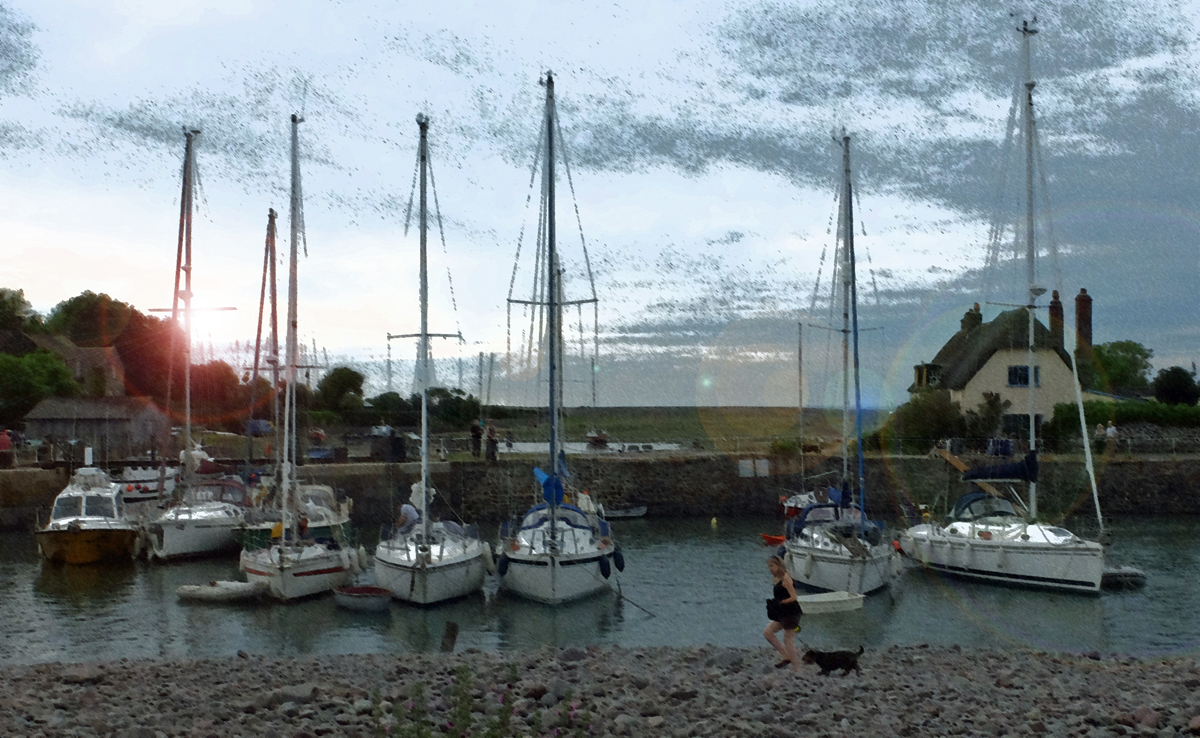
We had a day in North Somerset near Porlock on what was, so far, the hottest day of the year. Some walking, some sun-bathing and, later, some supper at the beach in Porlock Weir.

Sketch on an information board.
Lucy under a tree.
Our home for the day.
Porlock Weir at sunset.
Posted in blog entries | Leave a comment

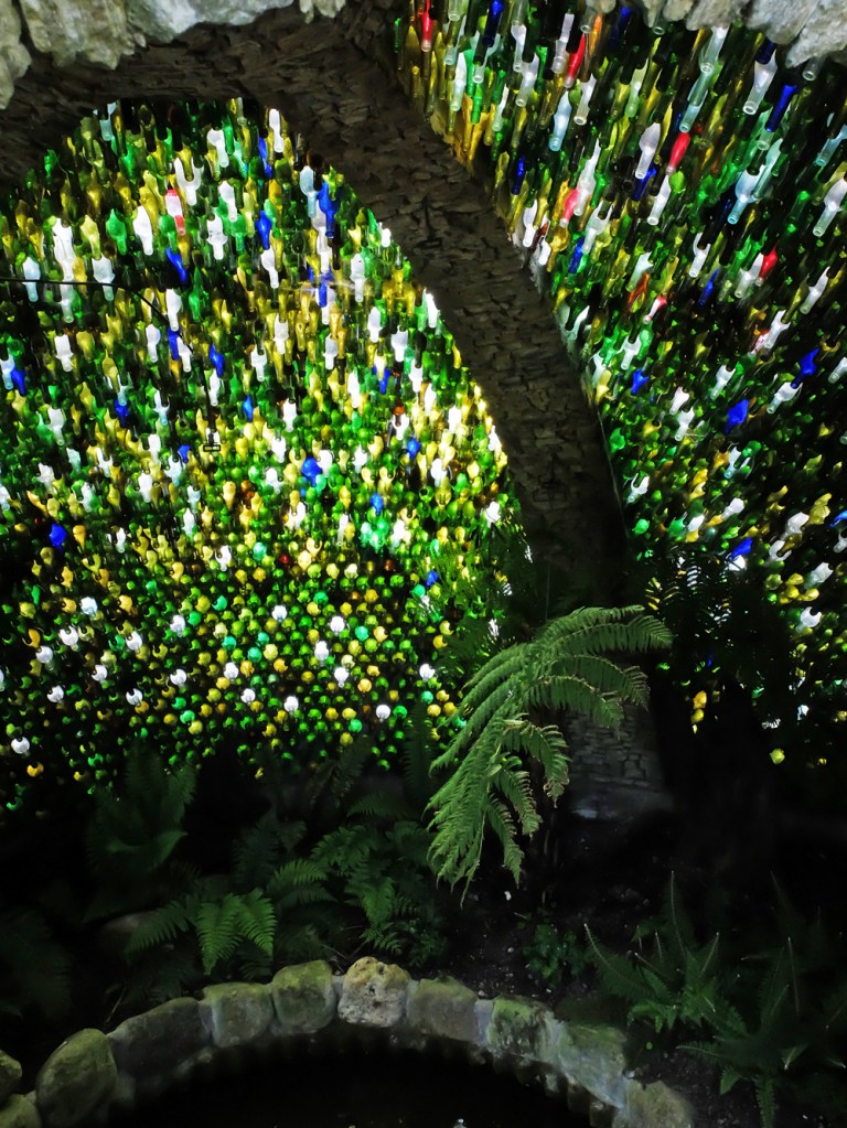
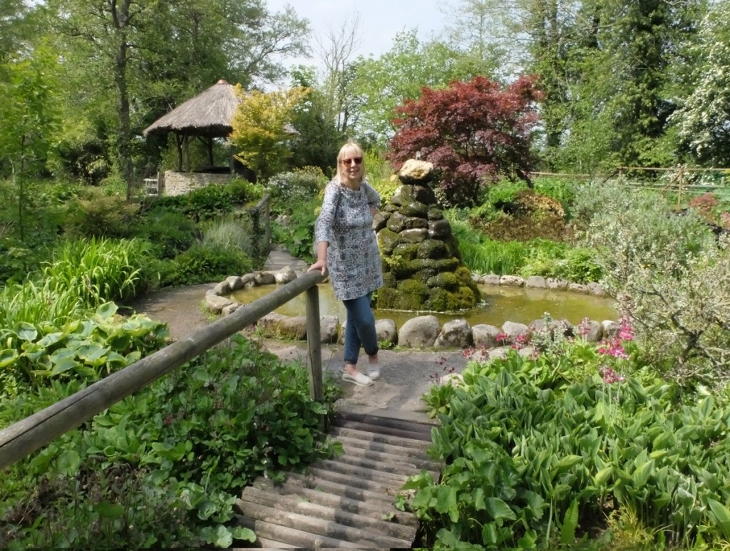
Westonbury Mill water gardens

Wendy and Graham joined us for a couple of nights in Kington (see previous item) and, while we were there, we visited these slightly bizarre gardens. More at http://westonburymillwatergardens.com/.

Posted in blog entries | Leave a comment

Offa’s Dyke, Kington to Knighton

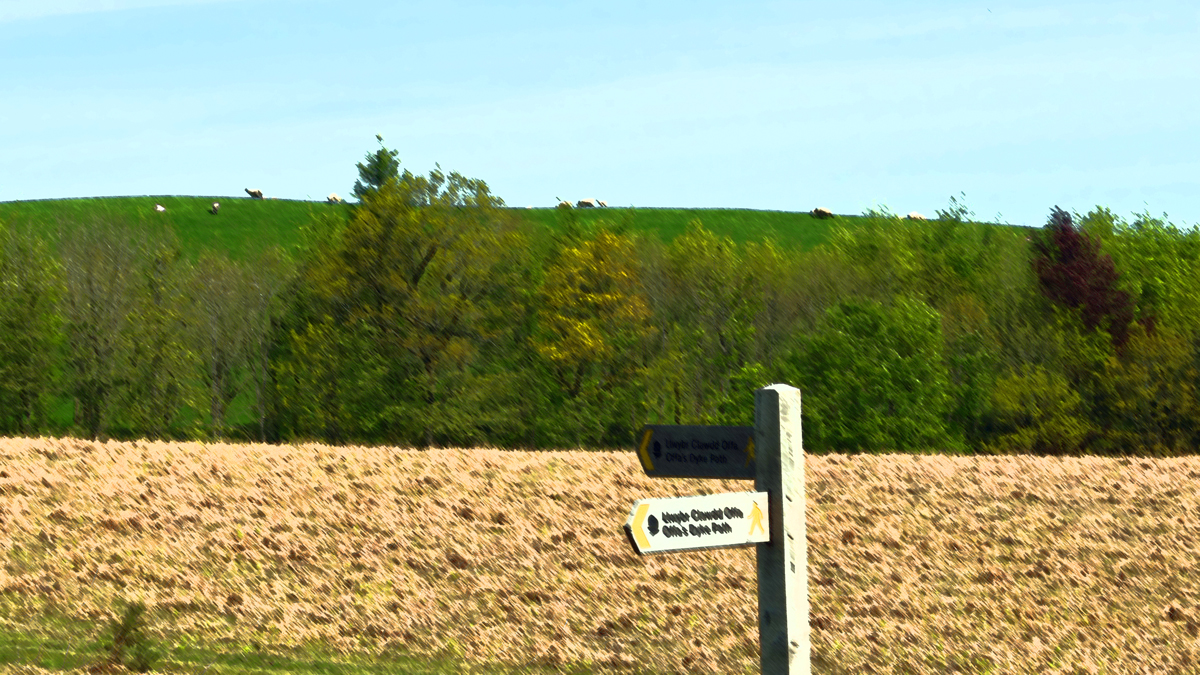
“As well as superb views from the remote hills this stage is notable for long stretches of well-preserved Dyke before the Trail enters its ‘spiritual home’ – Knighton (Tref-y-Clawdd, meaning the town on the dyke).
On leaving Kington the Trail passes over Brandor Hill and its golf course, the highest in England. Soon after, on Rushock Hill, the Trail meets up with Offa’s Dyke again, which it parted company with 56 miles ago after leaving Lower Redbrook in the Wye Valley. From this point to Chirk Castle the Trail and Offa’s Dyke keep each other company for most of the journey. The Trail soon passes over the border again from Herefordshire into Powys, the county with the longest section of the route.
On route to Knighton the Trail passes through the Woodland Trust owned site of Granner Wood, which through careful management is being restored to broadleaf woodland. The Trail soon drops down to the River Lugg at Dolley Old Bridge with its many meanders. On the bridge watch dippers and a glimpse of kingfishers if you are lucky. The next climb brings you up to Furrow and Hawthorn Hill. From here there are stunning views westwards into Radnorshire. One of Owain Glyndwr’s famous battle sites can also be seen from here where he fought the English at the Battle of Pilleth, with the square clump of trees that mark the burial site of the soldiers. The final decent brings you down into Knighton and almost the half way point on your journey and the home of the Offa’s Dyke Centre.” [© www.nationaltrail.co.uk].

So far, this is the only section we’ve done “backwards”, that is, we caught a bus from Kington to Knighton and walked back.

Posted in blog entries | Leave a comment

Offa’s Dyke, Hay on Wye to Kington

“This section starts off alongside the Wye, last seen at Monmouth, before passing through the rolling territory of the Powys – Herefordshire border. This area is well known for the diaries written by the Victorian country curate Francis Kilvert who wrote about life in the rural parishes with his observations on country life. As a finale to the stage the Trail rises to over 400 metres on Hergest Ridge with dramatic 360 degree views. On a clear day Pen y Fan can be seen to the south, the Malverns to the east and the hills of Shropshire to the north. The summit of Hergest Ridge has an old racecourse which is exactly a mile around. This area was also the inspiration for Arthur Conan Doyle’s Hound of the Baskervilles and Mike Oldfield’s second album Hergest Ridge. The day finishes in the border market town of Kington, a very important livestock town being on the drovers route. [© http://www.nationaltrail.co.uk]“

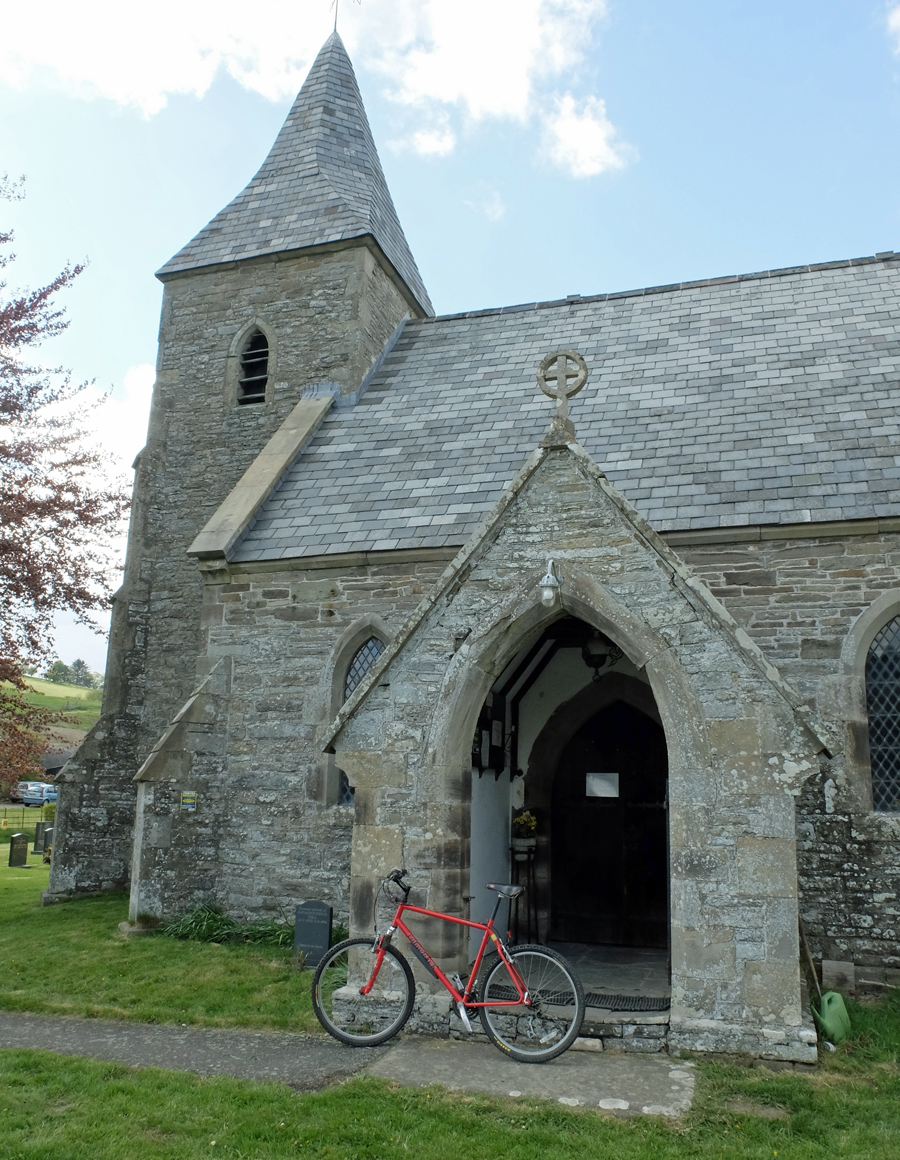
For logistical reasons I had to leave my bike at a small village called Newchurch. I couldn’t see anywhere to leave it so went into St Mary’s church, where the vicar insisted that I prop it up against a pew, and have a cup of tea. And some cake. It was, of course, still there on our return a few hours later.

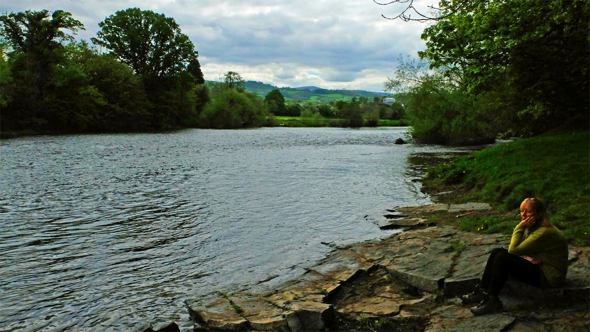
At the side of The Wye outside Hay
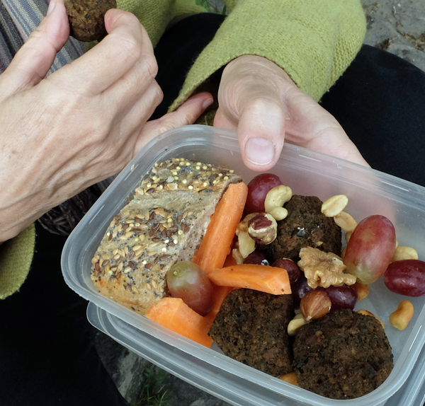
Healthy lunch
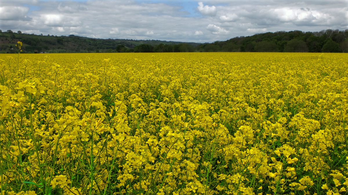
Oilseed rape field
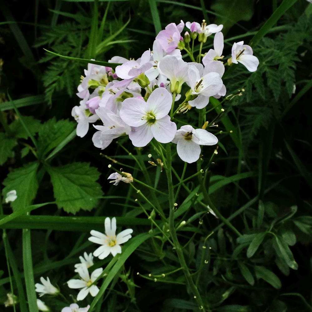
Ladies’ Smock and Stitchwort
Male Orange Tip butterfly
St Mary’s church, Newchurch, and the bike
Leaving Newchurch
Approaching Kington
Posted in blog entries | Leave a comment

Paradise Bottom

Lucy with stick in a field of wild garlic in the exotically-named Paradise Bottom, Leigh Woods, SW of Bristol.

Posted in blog entries | Leave a comment

Offa’s Dyke, Pandy to Hay on Wye

“A steady climb from Pandy brings you to the first dramatic upland section of the Trail in the Black Mountains and the highest point of the route at 2300 ft (700m). This section straddling the national border on the Hatterall Ridge lies within the Brecon Beacons National Park. Once the summit has been reached the Trail follows a well-defined and improved ridge walk for about 11 miles to Hay Bluff, with stunning views to either side. You have the Vale of Ewyas to one side and the Olchon Valley to the other with distant views of the Skirrid, Sugar Loaf and much more from different points along the ridge. Many walkers break the journey across the ridge with an overnight stay at either Llanthony Priory with its 11th century Augustinian Priory or, on the other side of the ridge, Longtown with its 12th century Norman motte-and-bailey fortification. The whole of this upland section is designated as a Site of Special Scientific Interest with various management regimes in place to improve its condition. The final descent brings you into Hay on Wye, famed for its numerous bookshops, the town also has the ruins of two Norman castles. [© www.nationaltrail.co.uk]“

For time/location/access reasons we had to do this section in two stages. The first was from Pandy to Llantony Priory.

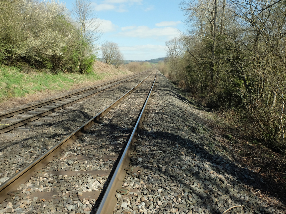
Railway near Pandy.
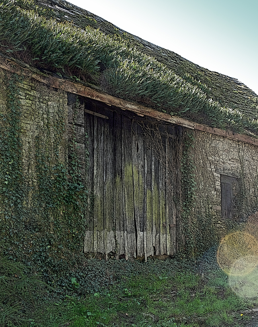
Barn near Pandy.
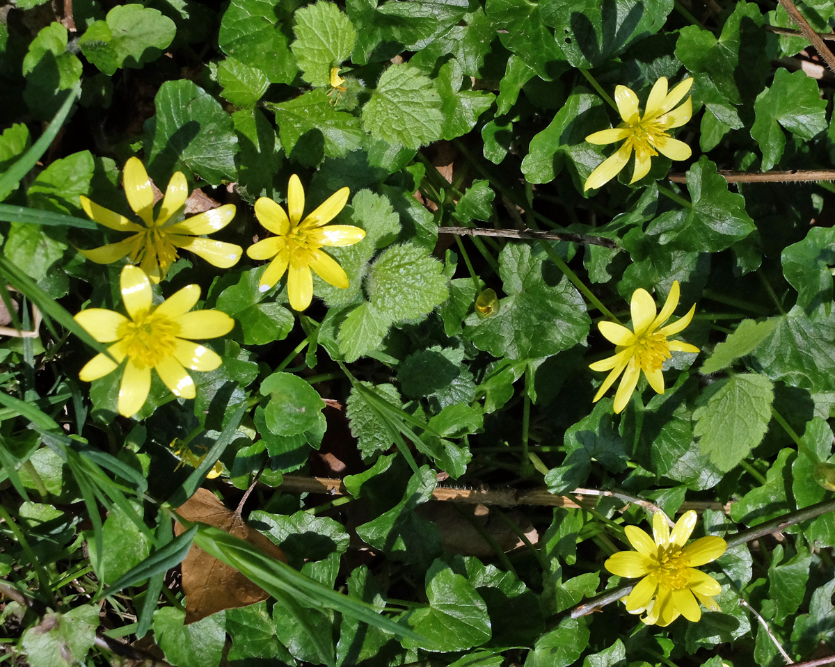
Cellandine
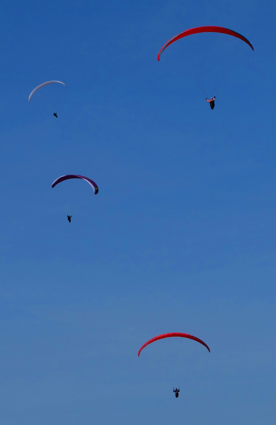
Hang glider on Hatterrall Hill.
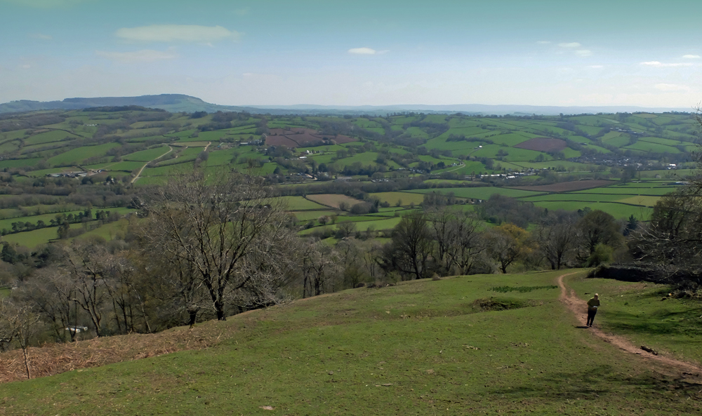
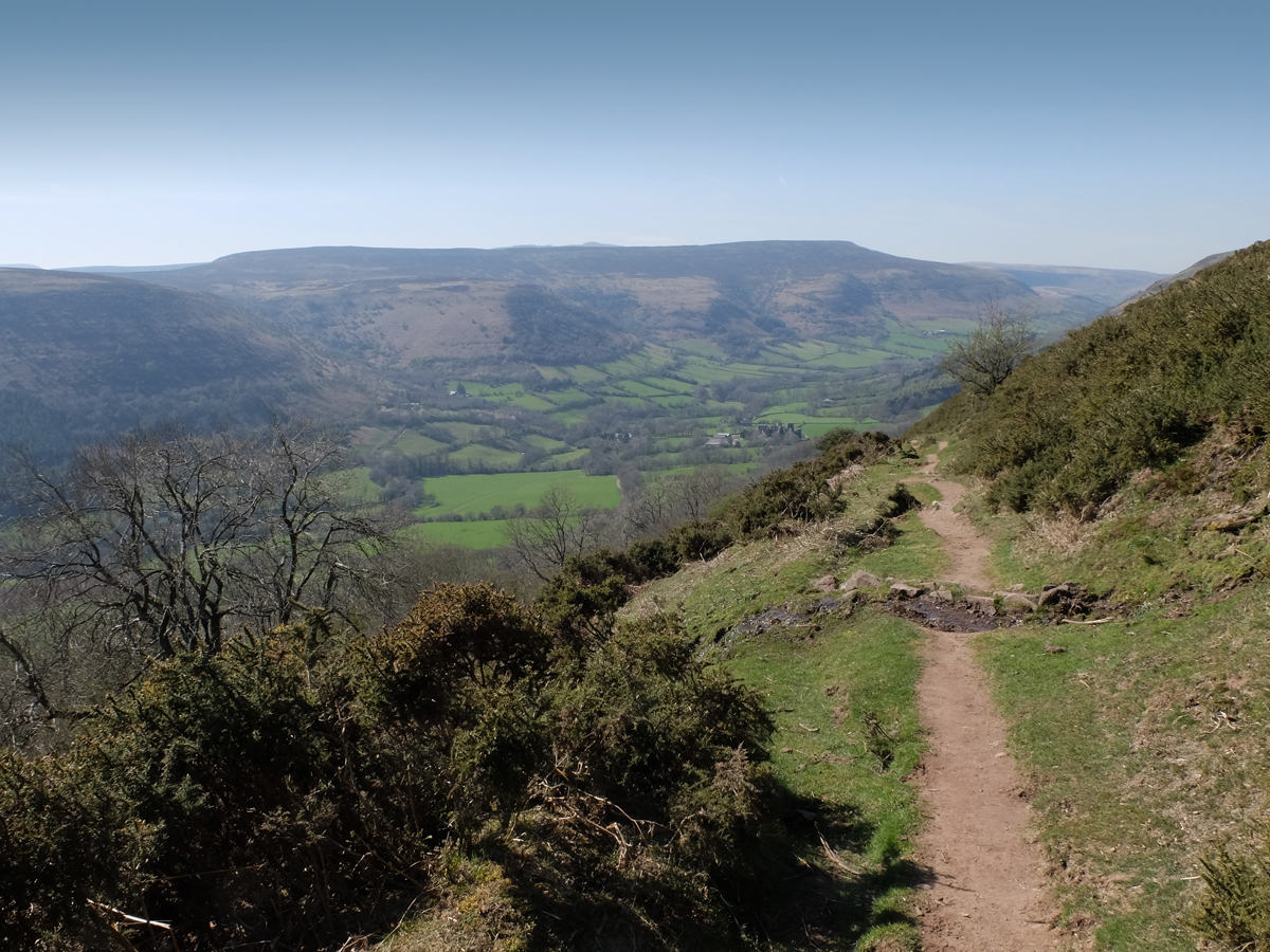
From Hatterrall Hill.
Selfie on the Brecon Beacons.
The Brecon Beacons.
Descending from Offa’s Dyke to Llantony priory.
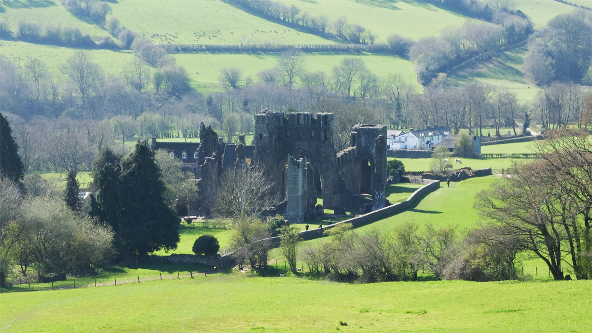
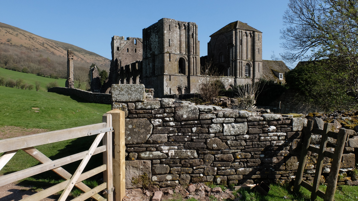
Llantony priory.
End of the road for today (apart from mountain-biking back to Pandy to collect the camper van).

The second, twelve mile, section of this stretch started with quite a steep climb from the priory back up to Offa’s Dyke path. Fantastic views for miles across the Brecon Beacons.

Climbing up to the Dyke path from Llantony.
More gliders!
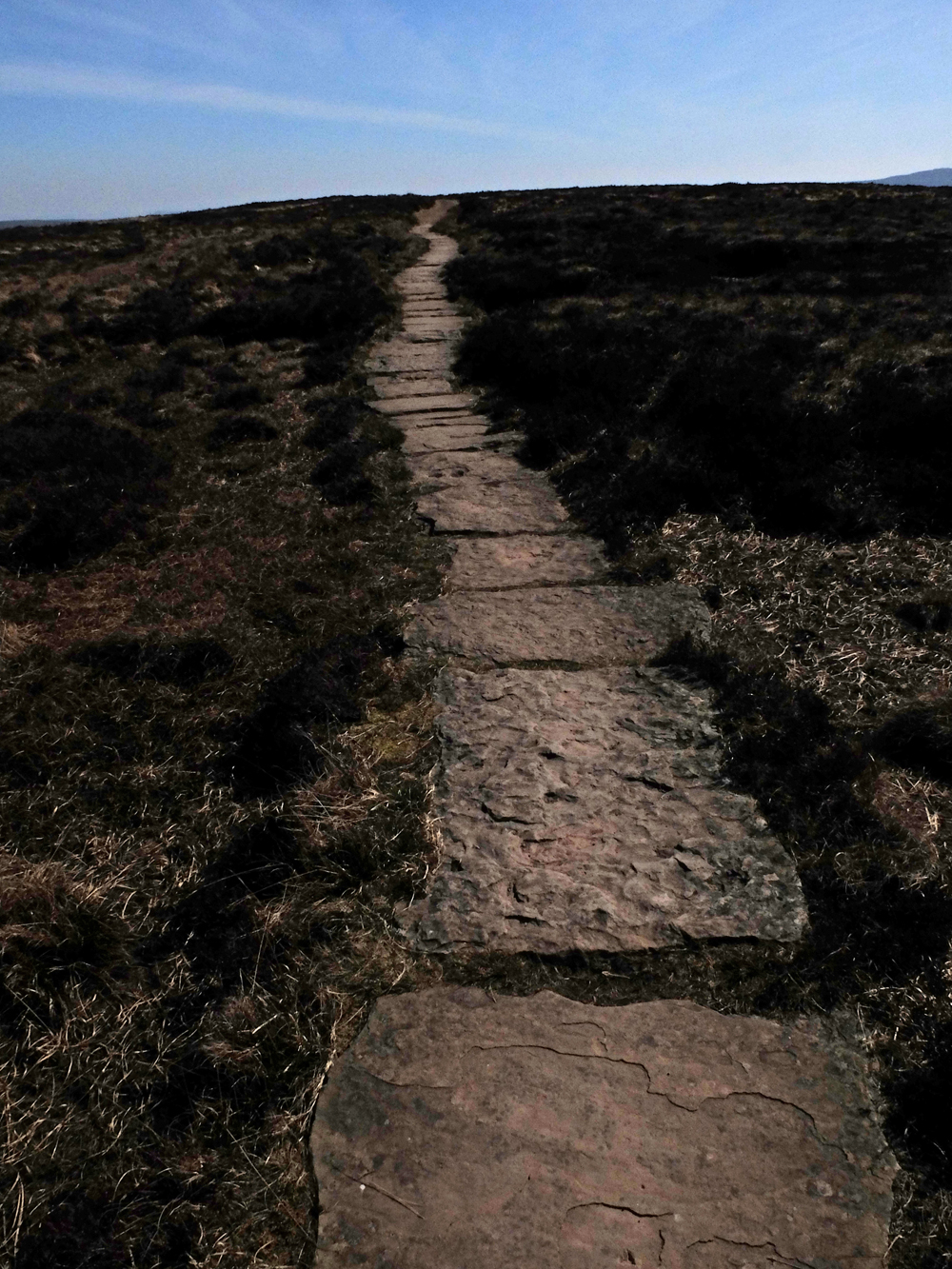
Some parts of the path were quite boggy and these stone slabs have been used to mark a safe, and dry, path.
“Trig point” Now superceded, for mapping and surveying purposes, by satellite, but a good point to stop and look at the view..
Lucy rounding Hay Bluff at Ffynnon Beacon, prior to starting long descent to Hay on Wye.
Final couple of miles to Hay and a fish and chip supper!
Posted in blog entries | Leave a comment